Seafloor Mapping
Place-based fisheries and coastal zone managers depend on fine-scale bathymetry and habitat maps for an array of critical decisions, including navigational safety, disaster response, endangered species protection, fisheries management, conservation, research, energy development, and marine planning. Yet, in Southern California nearly 90% of U.S. waters remain unmapped at an appropriate resolution. In 2014, the unmapped area within NOAA's Channel Islands National Marine Sanctuary was greater than 50%, with the majority being characterized by single-beam and lead-line data from the 1930s. To address this critical information gap, offices from across NOAA, together with other state and federal partners united to begin filling this void.
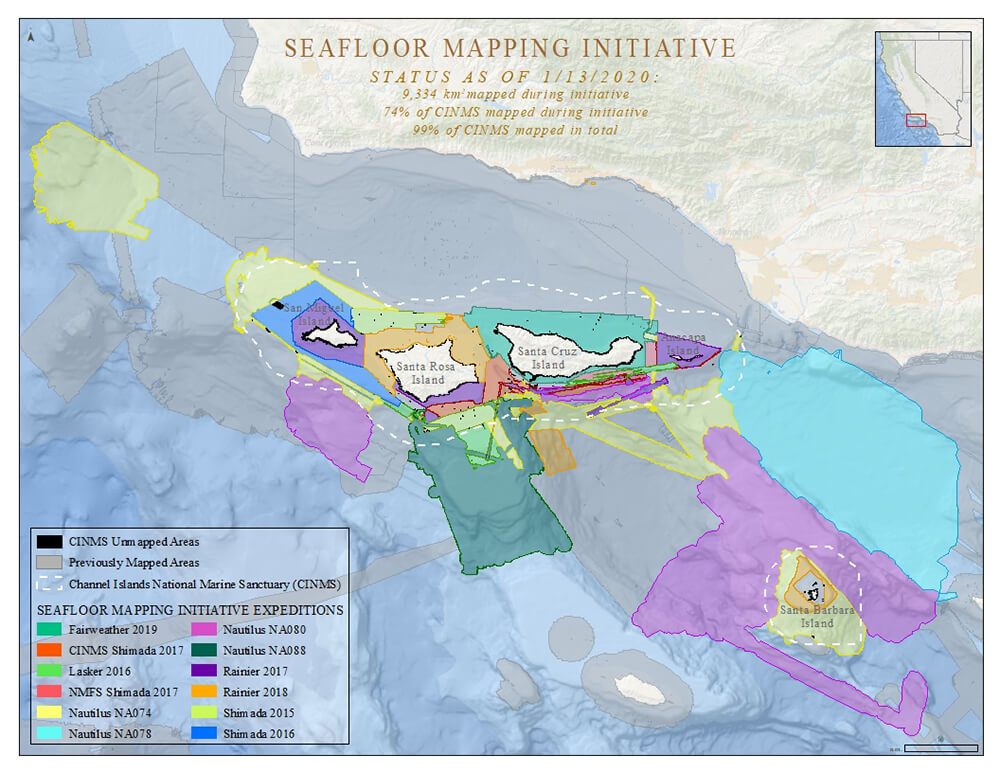
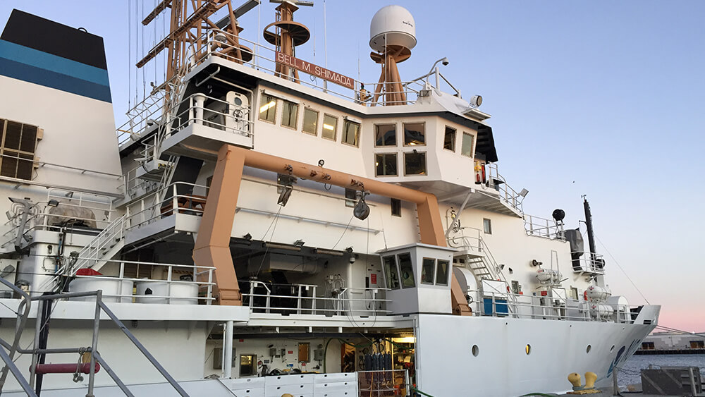
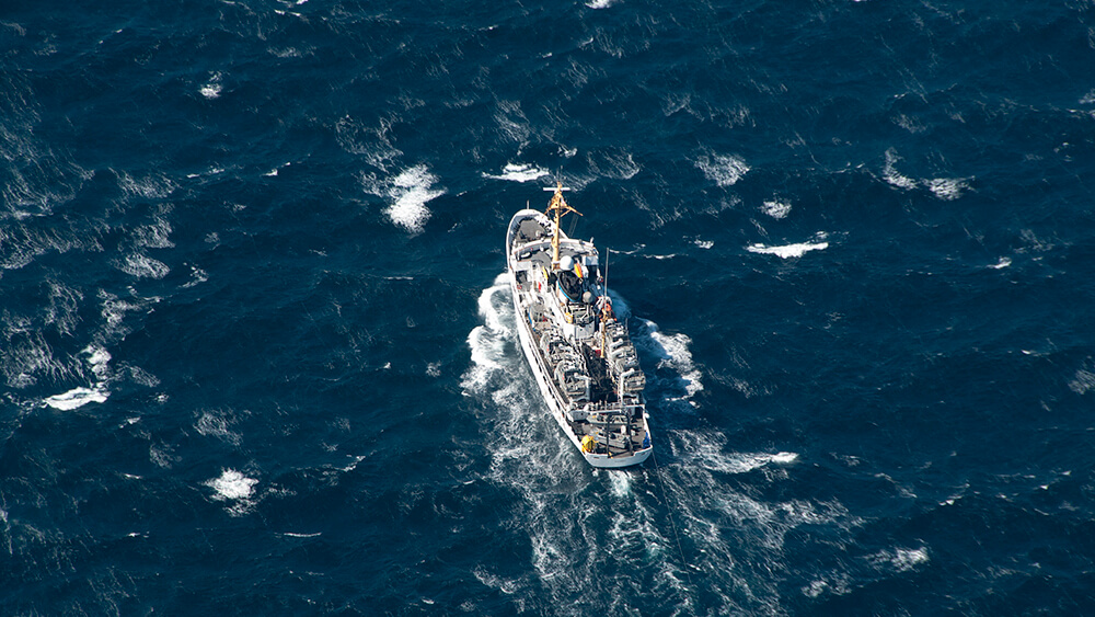
Since 2014, the sanctuary has partnered with a number of agencies, nonprofits, and NOAA partners to conduct multiple seafloor mapping and exploration missions. These efforts largely fall under two main projects: the Southern California Seafloor Mapping Project (SCSMP) and the EXpanding Pacific Research and Exploration of Submerged Systems (EXPRESS). From these efforts, the sanctuary has contributed to shrinking the data gap not only in the sanctuary but in the greater Southern California Bight as well. In addition to collecting data, these projects have made progress on the development of new mapping unmanned technologies including autonomous underwater vehicles (AUV), autonomous surface vehicles (ASV), and uncrewed aircraft systems (UAS). The sanctuary, NOAA's National Centers for Coastal and Ocean Science, and NOAA's Office of Coast Survey also developed methodologies using ME70 sonars to map the seafloor, which greatly expands the NOAA fleet's capabilities to conduct seafloor mapping in other regions.
Data from this work is already being used in a variety of ways. New seafloor data has allowed for nautical charts around the islands to be updated, including the addition of a series of new hazards to navigation. In addition, mapping data revealed a previously uncharted pinnacle within the sanctuary. Researchers are using this data to understand potential habitat distributions around the sanctuary. Sanctuary staffers are using the data to inform permit decisions and avoid disturbance to sensitive seafloor habitats and maritime heritage resources such as shipwrecks. The sanctuary is partnered with IWG-OCM and SeaSketch to facilitate online access to regional data sets and interested people can visit the Seafloor Mapping Federal Coordination Project on SeaSketch.